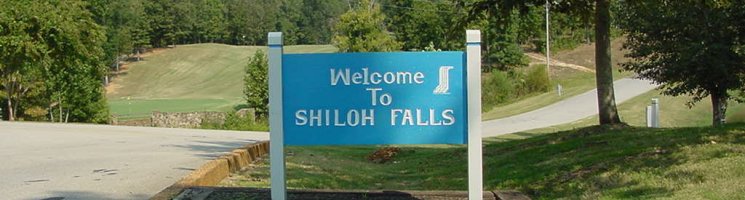
Shiloh Falls Homeowners Association
View Larger Map
|
Resident Login
|
New to Shiloh Falls
|
Information/Services
|
SFHA Business
|
|
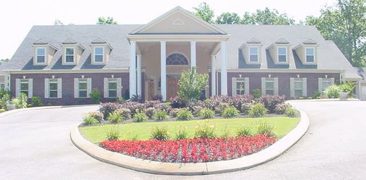
Facilities
|
Map Location
|
Photo Gallery
|
Feedback
|
Contact Us
|
HOME
|
COPYRIGHT 2025 ALL RIGHTS RESERVED SHILOHFALLS.ORG
(E-mail)
Site Design and Construction By
Netsouth Computer Services